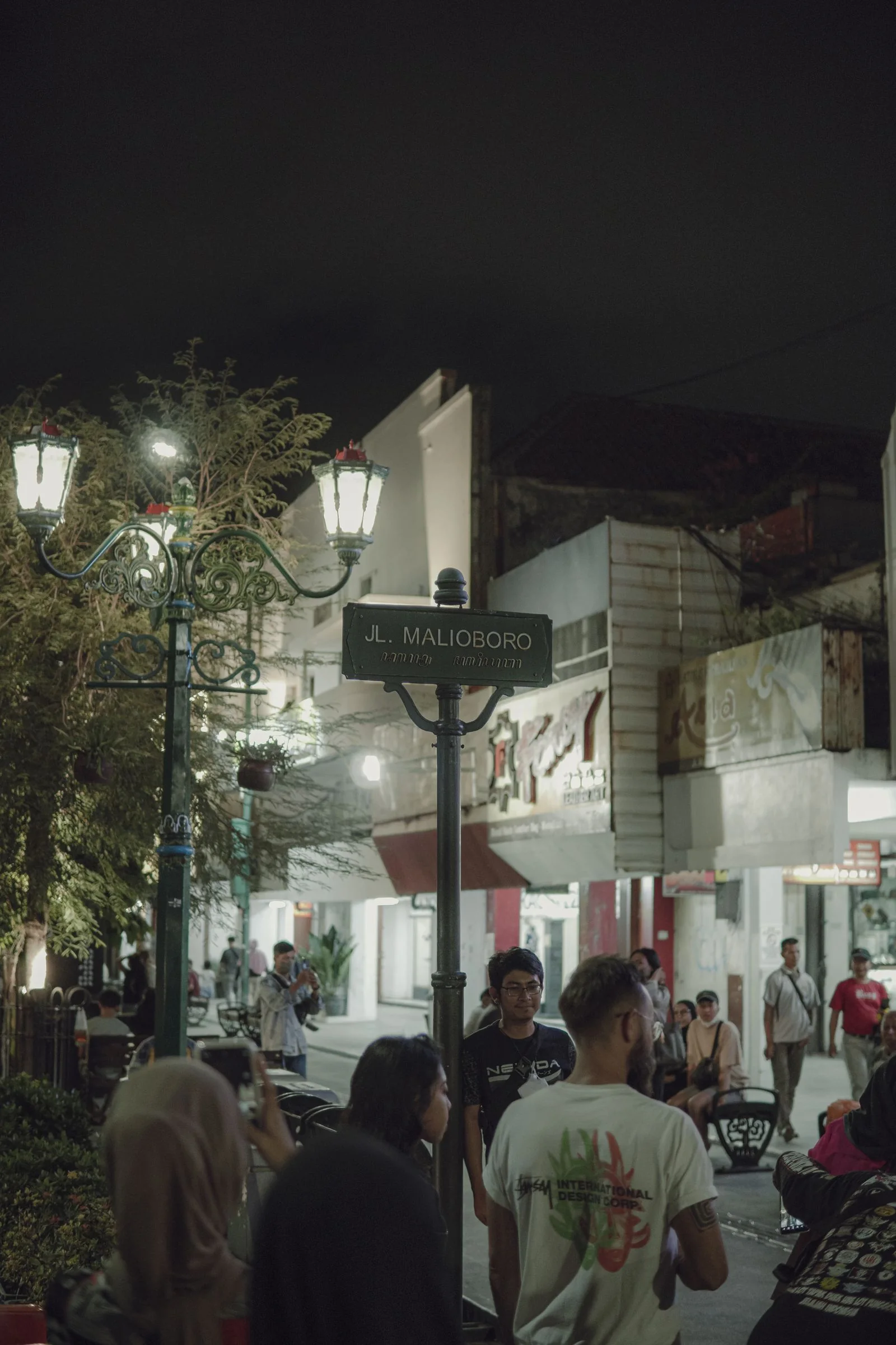
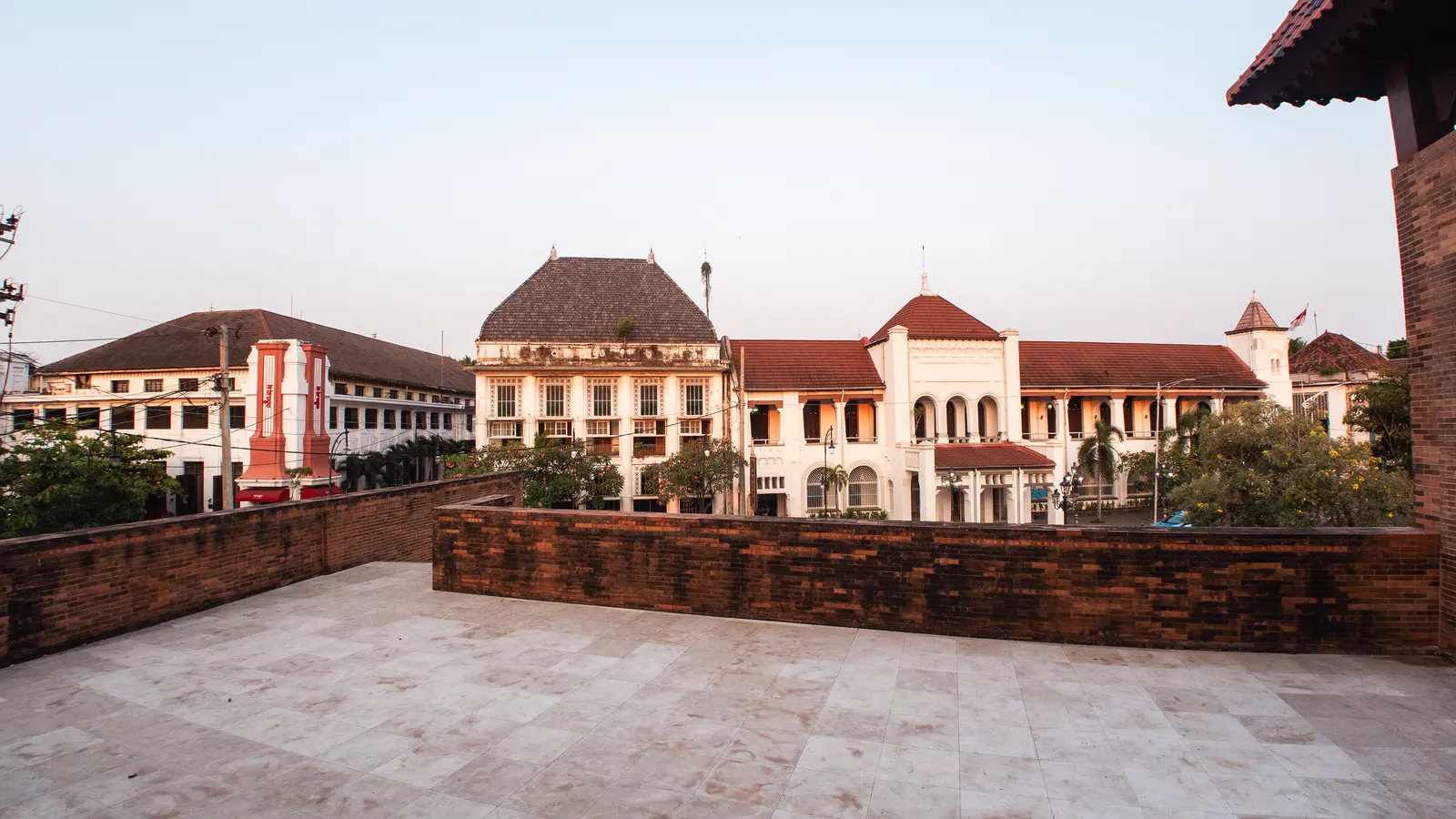
Begin with the square and its former city hall
At Fatahillah Square, look across the plaza to the former Batavia city hall, now Jakarta History Museum. The wide civic space helps orient the old walled settlement; stone paving can be uneven and exposed to sun, so start earlier and carry water.
Mobile data for your trip. Check what your current plan includes for roaming. If you need another option for maps, messages and booking details, compare NXTL eSIM coverage and rates. Check that your phone supports eSIM and is unlocked, and check coverage for every stop. Download important maps and confirmations for offline use too.
Choose one museum interior
The Jakarta History Museum, Wayang Museum and Museum of Fine Arts and Ceramics sit around the square. They are separate visits with their own opening arrangements; confirm current hours and ticketing rather than trying to fit every gallery into a short walk.
Follow the canal-side streets toward Glodok
Walk south-east toward Glodok, pausing at the Kota Intan drawbridge if access is open. Streets and canals are working parts of the city, not a closed museum precinct; watch traffic, give residents space and check any construction or access barriers locally.
Continue north only if the day is still comfortable
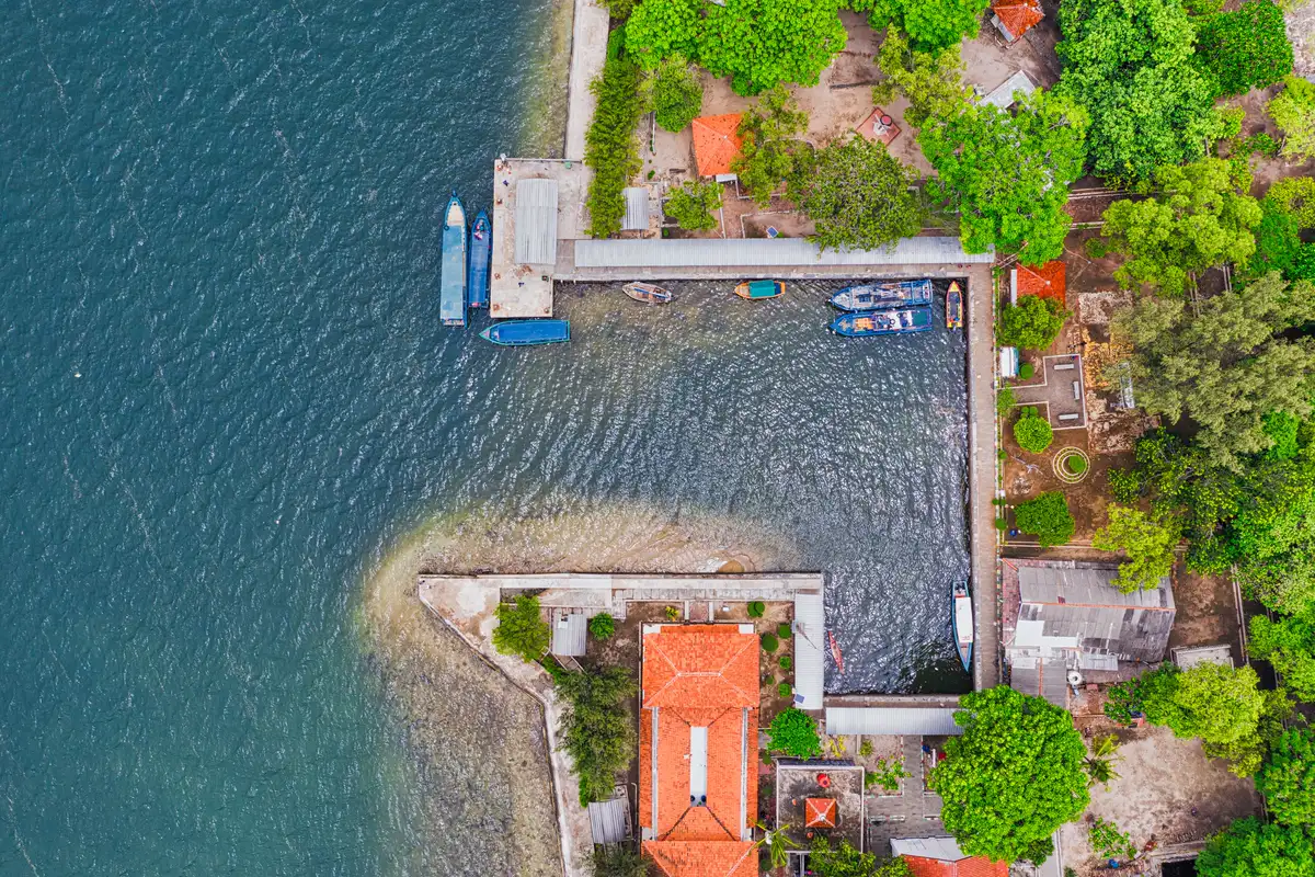
The working waterfront at Sunda Kelapa Harbour is a different setting from the museum square. Confirm public access before making the extra leg; boats and cargo activity are operational, so stay within visitor areas and do not board vessels without permission.
Food and a shorter version
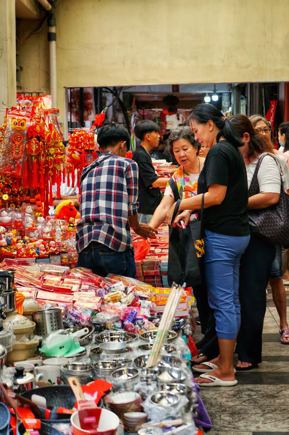
For a break, locally written Jakarta food routes place Kopi Es Tak Kie in Glodok’s Gloria Alley and map snacks around Petak Sembilan. Confirm that a shop is open and ask before photographing people. In rain or strong heat, keep the walk to the square and one museum, then take a ride to your next stop.
Check before you go
Opening arrangements and visitor rules can change. Check the official information before your trip.