Make this a separate outing east of Vík
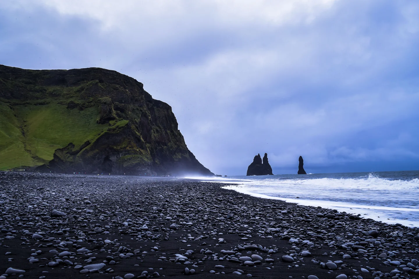
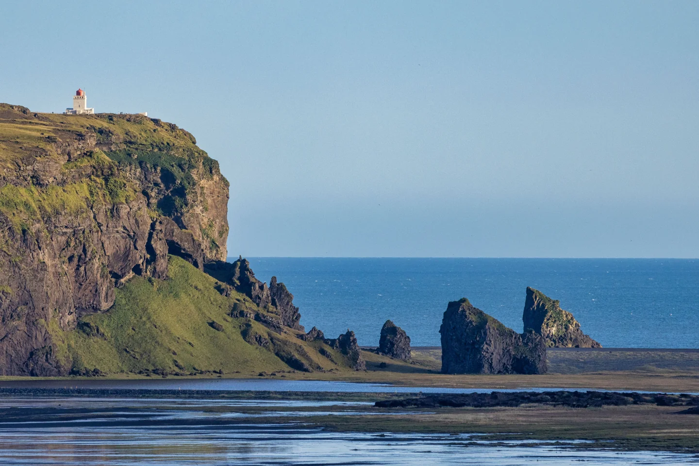
Hjörleifshöfði stands above Mýrdalssandur as a distinct tuff headland surrounded by dark outwash plains. The Katla UNESCO Global Geopark identifies its formation beneath an ice-age glacier. That landscape story gives the outing a reason beyond a cave-shaped photograph.
Arrange your own appropriate transport and return before leaving Vík. Use the signed approach and authorised roads, following current landowner instructions, notices and any payment requirements. This guide does not establish a free parking entitlement or permission to drive across the sand because other vehicles have left tracks.
Mobile data for your trip. Check what your current plan includes for roaming. If you need another option for maps, messages and booking details, compare NXTL eSIM coverage and rates. Check that your phone supports eSIM and is unlocked, and check coverage for every stop. Download important maps and confirmations for offline use too.
Choose the cave or the marked hill walk
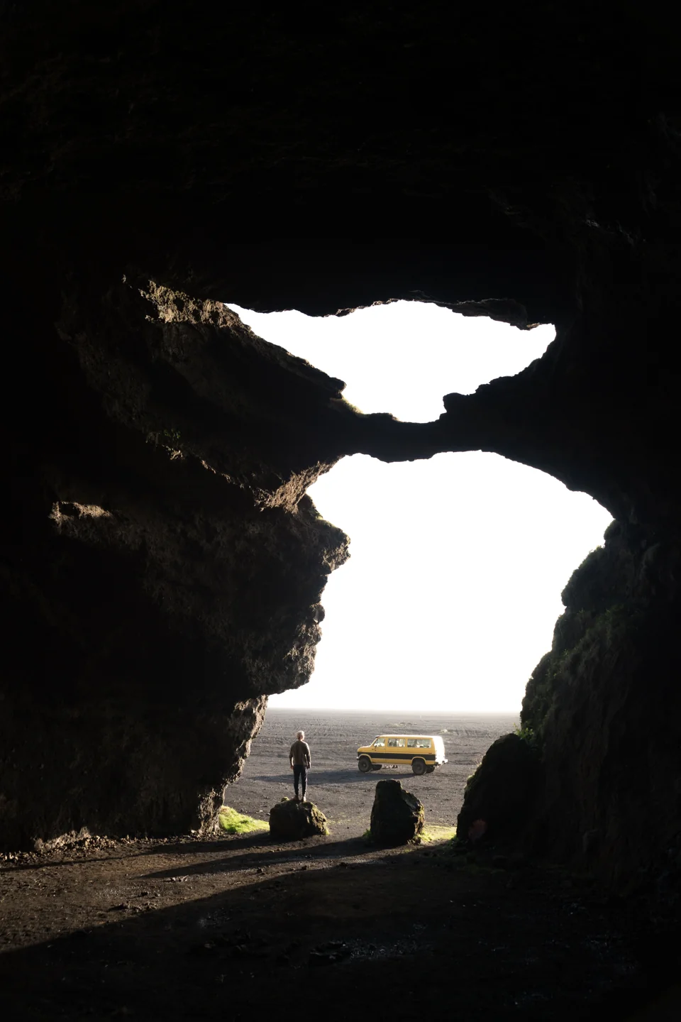
The municipality identifies Gýgjagjá, often nicknamed Yoda Cave, below the headland and a separate marked hill route. A short permitted cave stop and a longer ascent are different plans. Choose according to actual weather, footing, daylight and the people travelling with you.
The municipal hill route is described as a four-kilometre circuit with about 200 metres of ascent. Those are published route figures, not a promise of an easy or quick winter walk. Check the route on arrival and leave it out if conditions or available time do not suit; you can understand the headland without completing its upper circuit.
Read the former farm sites as part of the landscape
The local route description connects the ascent with former farm ground, ruins and the Hjörleifshaugur tradition. The regional tourism account explains that habitation moved after a Katla flood and continued until 1936. Look at how the high ground and surrounding plain shaped where people could live, rather than treating the ruins as anonymous stones.
Keep settlement stories clearly framed as traditions when the sources do so. A mound associated with Hjörleifur is not proof of an excavated, verified grave. Follow the marked route and respect the remains; do not climb fragile structures or move stones to make the history easier to photograph.
Give Gýgjagjá its own limits
The cave’s distinctive opening is the feature shown in this guide, matched to the municipality’s Gýgjagjá description. It is a rock cave, not the moving natural ice cave sold by Katla glacier-excursion operators. A booked ice-cave tour does not automatically include this location, and an ordinary cave stop supplies no guide or specialist glacier access.
Observe current signs and keep out if the entrance or approach is restricted. Avoid climbing the opening, loose rock or ledges for a silhouette picture. The image is a location reference, not an instruction to reproduce another visitor’s position. If conditions make the cave unsuitable, stay with a permitted exterior view or leave.
Plan the meal back in the village
Halldórskaffi at Víkurbraut 28 is an operator-verified place for a seated meal in historic Brydebúð after the outing. Fish and Icelandic lamb are among its stated offerings, with café choices if you want a shorter pause. Confirm actual service and dietary needs before making a late return dependent on one kitchen.
The Soup Company provides another concrete option, including operator-listed lamb soup, beef goulash and lentil soup. Bring whatever water and ordinary refreshments your actual outing needs instead of assuming a café, staffed facility or toilet is available at the headland itself.
Keep the outing distinct from a rushed South Coast loop
This local-history landscape does not need to be combined with Dyrhólaey, Reynisfjara and a glacier excursion on the same day. Choose the hill circuit as your main walk when conditions suit, or keep a shorter permitted stop and enjoy the village afterwards. The quieter experience comes from time and attention, not a claim that nobody else visits.
Wear walking footwear suited to the actual trail and carry removable warmth and weather protection. Check the current forecast, road information and local notices. In poor conditions, a booked Lava Show and a researched meal in Vík offer a clear alternative without needing to find another unfamiliar rural route.
Check before you go
Opening arrangements and visitor rules can change. Check the official information before your trip.
- Mýrdalshreppur: locally documented walking routes, Hjörleifshöfði and Gýgjagjá
- Katla UNESCO Global Geopark: Hjörleifshöfði geological identity
- Visit South Iceland: Hjörleifshöfði settlement and landscape history
- Halldórskaffi operator: Brydebúð, actual food and opening information
- The Soup Company: current menu and Víkurbraut 5 location
- Icelandic Met Office: actual forecasts and warnings
- Iceland road administration: actual road conditions